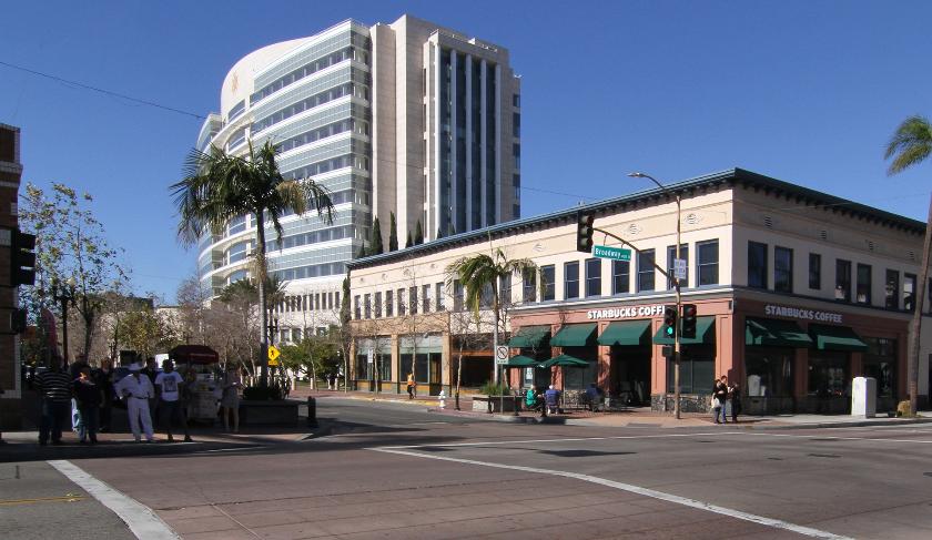
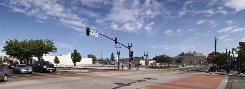
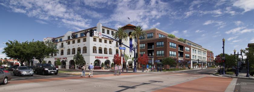
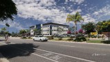
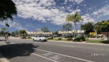
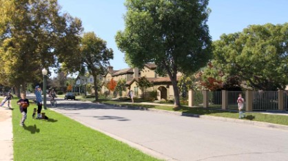
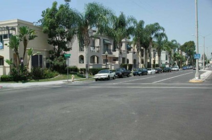
Existing block inDowntown Santa Ana, California
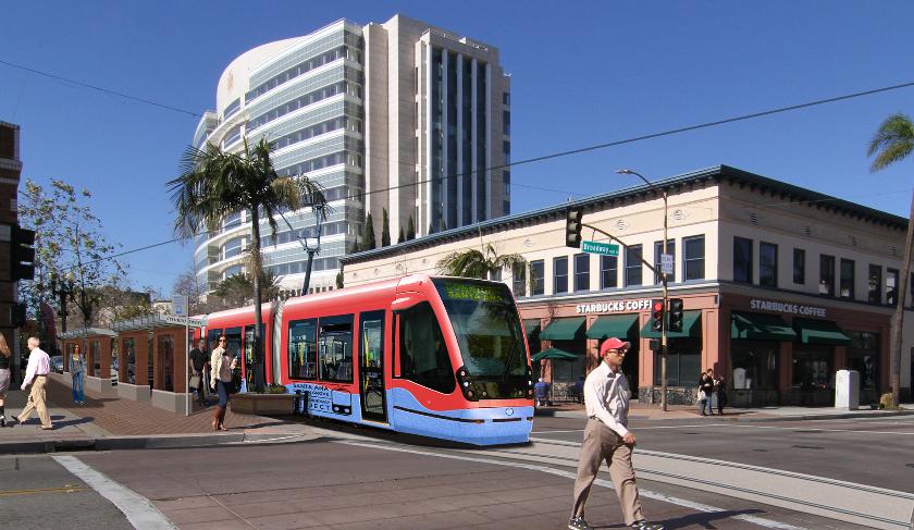
Simulated proposed modern streetcar system.
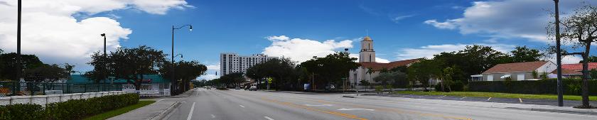
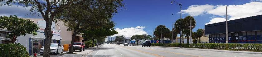
Existing highway corridor in Hollywood, Florida - panorama view created from 4 photographs.
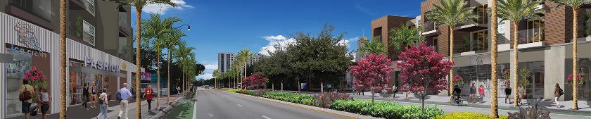
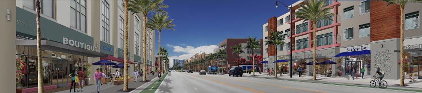
Simulated streetscape improvements and bike lanes with new mixed-use development.
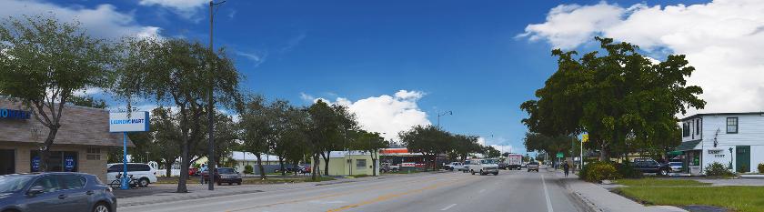
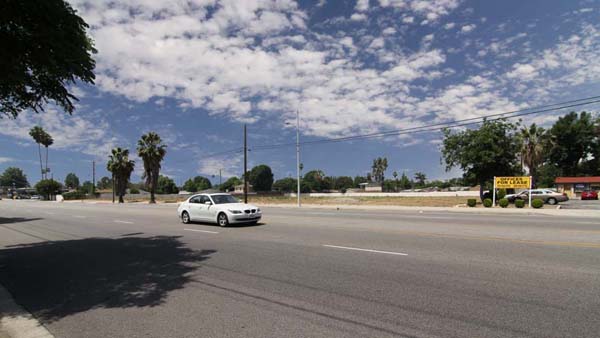
Existing highway corridor panorama view
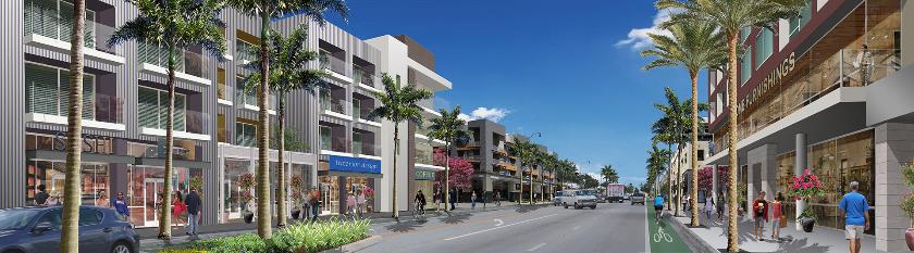
Simulated streetscape and bike lane improvements and new 4-story mixed-use development.
Existing highway corridor panorama view
Simulated streetscape and bike lane improvements with new mixed-use development.
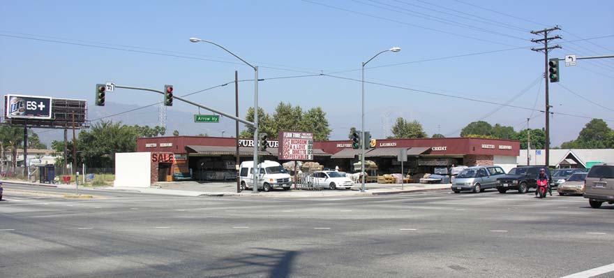
Existing strip shopping center (mid-block view).
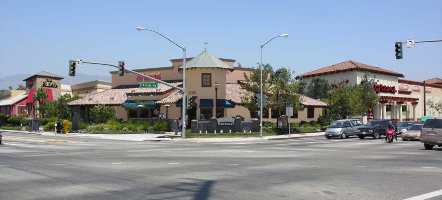
Simulation of shopping center redeveloped as mixed-use development with new promenade street.
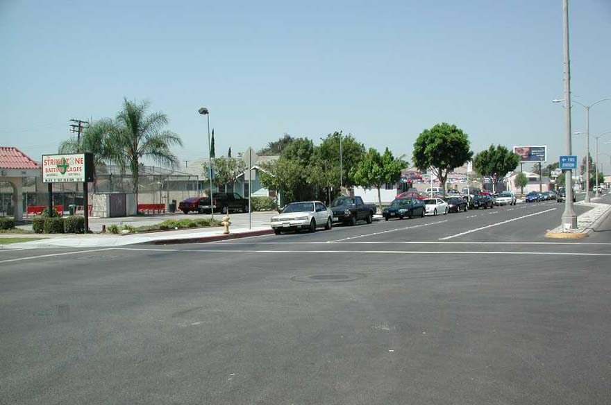
Existing strip shopping center (corner view).
Corner view simulation of strip shopping center revitalized as mixed-use development.
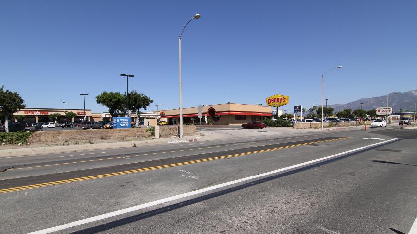
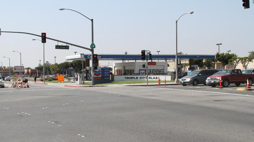
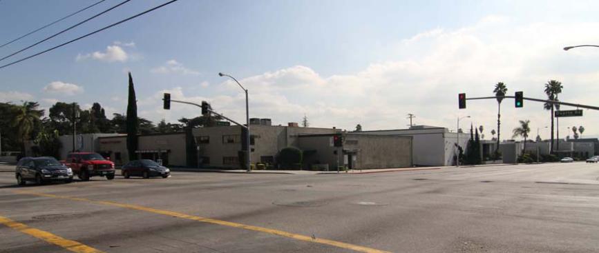
Existing downtown corner site
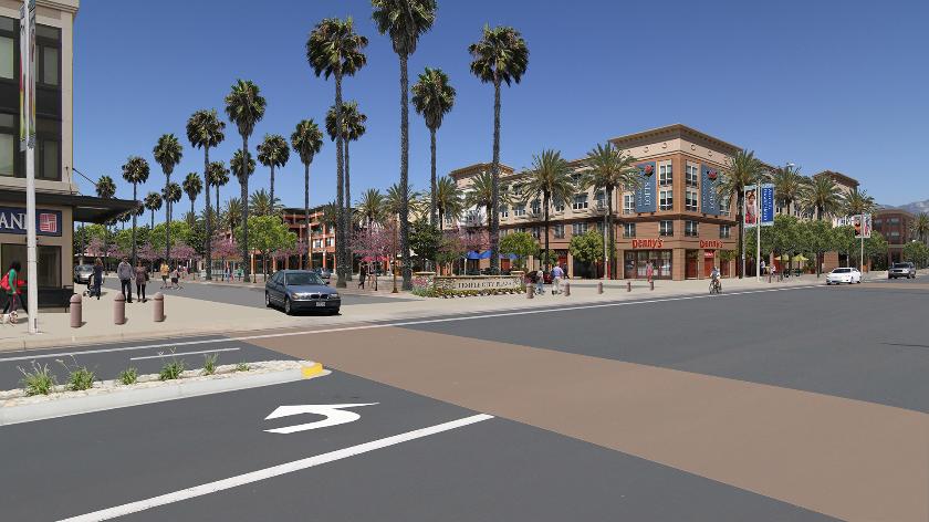
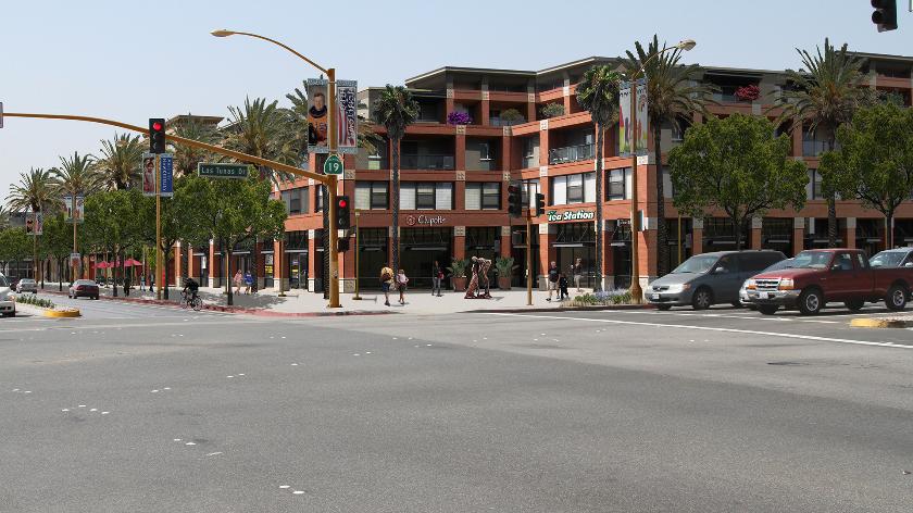
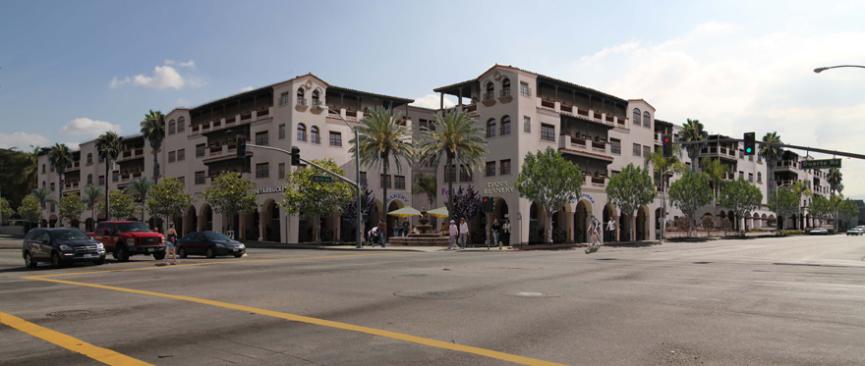
Simulated mixed-use development.
Existing Site
Vacant parcel - approximately 2.5 acres along a wide arterial road.
Simulated land use alternatives:
Alternative 1: Medium Density Residential - 30 units/acre
Alternative 2: Office - 1.0 FAR
Alternative 3: Retail Commercial - 0.3 FAR
A landscaped center median and bike lanes are included in all alternatives.
Go to Video Format for a detailed sequence animation for these simulations.
 Alternative 1: Medium Density Residential
 Alternative 2: Office
 Alternative 3: Retail Commercial
Existing light industrial uses adjacent to a future light rail transit station.
Simulated mixed use transit oriented development.
The following three photos (existing and two photo-simulations) are a comparison of architectural styles and massing.
Existing site: Mix of residential and commercial uses at the edge of the downtown.
Simulation: Alternative 1: New 3-story mixed use development. This alternative received a somewhat negative reaction because of the building's bulk and massing. The consensus was that this development was not compatible with the surrounding neighborhood.
Simulation: Alternative 2: This simulation was prepared based on the feedback received on Alternative 1 (above). This version uses a different architectural style to add roof and wall articulation giving the building a more residential feel. Alternative 2 received a favorable response; the consensus was that it was compatible with the existing neighborhood.
The following are miscellaneous examples of photo-simulations showing land use alternatives.
Go to the Image Gallery for more examples and higher resolution images.
Existing downtown block served by one way street
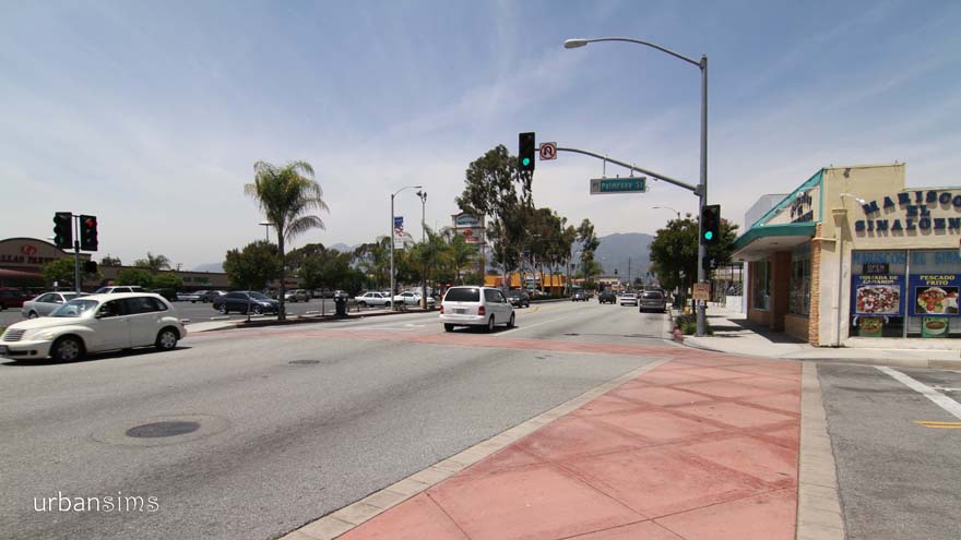
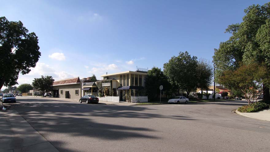
Existing: The city's main street, the "heart of the downtown", is currently lined with older single-story retail buildings anchored by auto-oriented shopping centers.
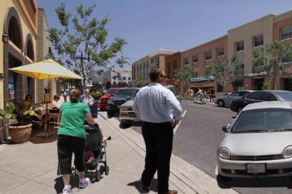
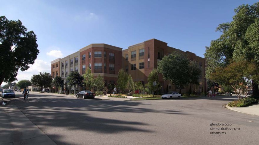
Simulation: New 3-story mixed use development; one way street converted to 2-way traffic
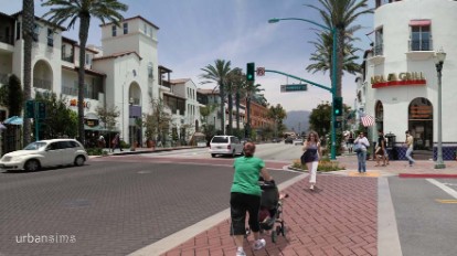
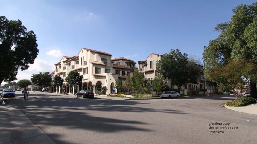
Simulation: New 2- and 3-story mixed-use buildings line the main street, while bulb-outs, decorative paving and outdoor dining opportunities enhance the public realm.
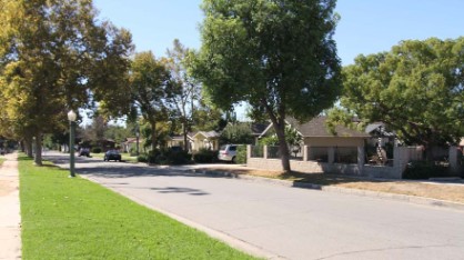
Existing block zoned for medium density residential.
Simulation: New 2-story multi-family residential development which includes the preservation of an existing heritage oak tree (foreground left).
Existing: Auto-oriented strip commercial development. . .
Simulation: New retail development in a more pedestrian-friendly configuration as an initial phase of transforming this highway into a mixed-use corridor.
Existing: Strip commercial development.
Simulation: New infill development - medium density townhomes.
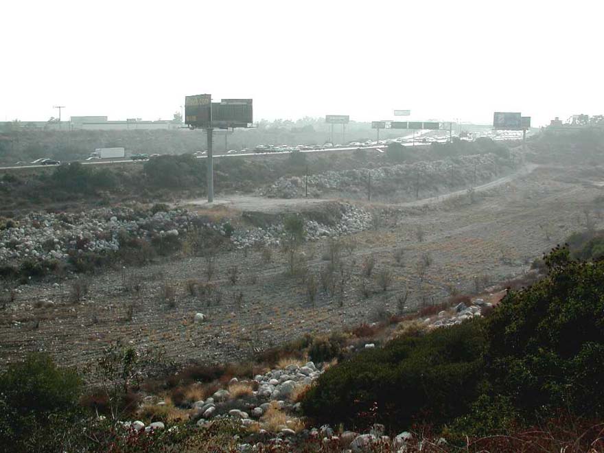
Existing: Abandoned quarry site.
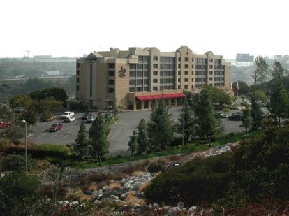
Simulation: Hotel/conference center
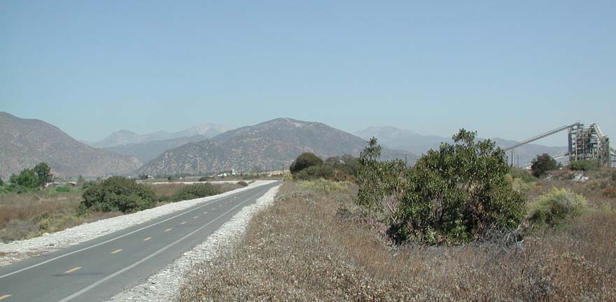
Existing: River bike trail.
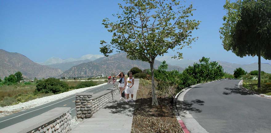
Simulation: New River Parkway enhancements.
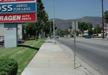
Existing: Sidewalk along strip shopping center.
. . .
Simulation: Shopping center transformed into pedestrian friendly district with activity along the sidewalk.